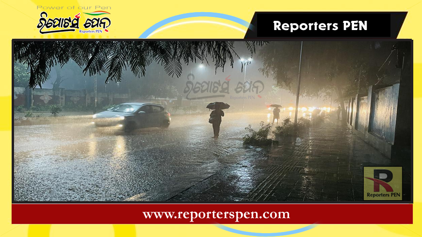
Bhubaneswar, (Reporterspen), Sept 12: The wet spell in Odisha is expected to persist as the India Meteorological Department (IMD) forecasts the development of a new low-pressure area over coastal Bangladesh and its vicinity.
According to the midday bulletin, an upper air cyclonic circulation remains active over southeast Bangladesh. This system is anticipated to form a low-pressure area over coastal Bangladesh within the next 24 hours and is expected to gradually move west-northwest, potentially evolving into a depression over coastal West Bengal and the northwest Bay of Bengal within the next 48 hours.
The IMD has issued orange and yellow weather warnings due to the likelihood of heavy to very heavy rainfall in Odisha over the next three days.
Rain Forecast:
September 13
Orange Warning: Heavy to very heavy rainfall with thunderstorms and lightning is expected in isolated areas of Kalahandi.
Yellow Warning: Heavy rainfall, accompanied by thunderstorms and lightning, is likely in isolated areas of Nabarangpur, Koraput, Malkangiri, Mayurbhanj, Keonjhar, Sundargarh, Balasore, Bhadrak, Jajpur, Kendrapada, Cuttack, Jagatsinghpur, Rayagada, and Gajapati. Thunderstorms with lightning may also occur in Balasore, Bhadrak, Jajpur, Kendrapada, Cuttack, Jagatsinghpur, Puri, Khurda, Nayagarh, Ganjam, and Gajapati.
September 14
Orange Warning: Heavy to very heavy rainfall with thunderstorms and lightning is expected in isolated areas of Mayurbhanj, Keonjhar, and Sundargarh.
Yellow Warning: Heavy rainfall along with thunderstorms and lightning may affect isolated areas in Jharsuguda, Sambalpur, Deogarh, Koraput, Nabarangpur, Jajpur, Bargarh, Rayagada, Kalahandi, Balasore, and Bhadrak.